
Who uses stereoscopic 3D — and why it matters.
From photogrammetry studios to oil-and-gas interpretation rooms, teams across eight professional industries depend on true stereo 3D for accuracy, speed, and reduced cognitive load. Here is how each discipline uses it — and how the 3D PluraView fits in.

Photogrammetry
Stereo compilation, feature extraction, and map production.
Photogrammetrists view overlapping aerial or satellite imagery in true stereo to measure elevations, digitize terrain, and extract 3D features like buildings, roads, and vegetation with sub-pixel accuracy.
- Aerial triangulation and block adjustment review
- DTM/DSM editing and breakline collection
- Stereo feature extraction into GIS and CAD
- Quality assurance of orthorectified mosaics
The PluraView delivers flicker-free, full-resolution stereo on two native 4K panels — letting operators work through 8-hour compilation shifts without the eye strain of active-shutter systems. Supported by every major stereo-photogrammetry suite including Trimble Inpho, Hexagon ImageStation, BAE SOCET GXP, and KLT Atlas.

GIS & Geospatial
Terrain analysis, planning, and 3D map authoring.
GIS analysts use stereo 3D to evaluate terrain, site infrastructure, model line-of-sight, and validate feature data against imagery — work that is dramatically faster and more accurate when depth is perceived directly instead of inferred from a 2D map.
- Esri ArcGIS Pro stereo maps with the Image Analyst extension
- Utility corridor, pipeline, and right-of-way planning
- Floodplain, watershed, and cut-and-fill studies
- Urban planning and 3D city-model QA
PluraView is the reference display for Esri stereo workflows and pairs natively with ArcGIS Pro. Passive polarized glasses cost a fraction of active shutter kits, so entire teams can be equipped without per-seat licensing on the eyewear.
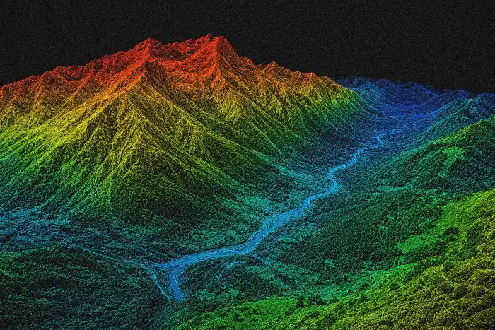
LiDAR & Point Cloud
Classification, editing, and quality control of dense scans.
LiDAR technicians rotate and classify billions of points from airborne, mobile, and terrestrial scans. Stereoscopic depth lets them distinguish vegetation from structure, identify misclassified points, and clean noise far faster than in a 2D orthographic view.
- Manual and semi-automated point classification
- Breakline, powerline, and building footprint extraction
- Scan registration and noise removal QC
- Forestry canopy and bare-earth modeling
Certified with TerraSolid, Global Mapper, LP360, and CloudCompare. The PluraView's true full-HD-per-eye resolution keeps dense clouds sharp at every zoom level, and the passive display runs cool and silent for all-day editing sessions.
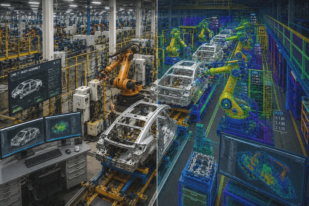
Engineering & CAx
Mechanical CAD, CAM, and design review in native stereo.
Engineers reviewing complex assemblies, tolerances, and CAM toolpaths catch interferences, clashes, and ergonomic issues faster when they can literally see the depth of a model. Stereo review is standard practice for aerospace, automotive, and heavy-equipment design.
- Assembly review and clash detection
- CAM toolpath verification and simulation
- Ergonomic and reachability studies
- Design reviews with distributed stakeholders
Supported across Siemens NX, PTC Creo, Dassault CATIA and 3DEXPERIENCE, Autodesk Inventor, and SolidWorks via OpenGL Quad Buffer. The dual-monitor PluraView layout doubles as a conventional workstation when stereo is not needed.
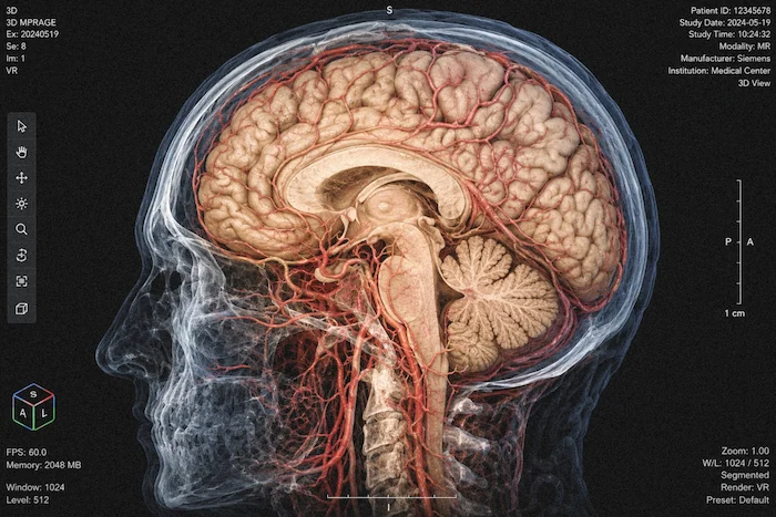
Medical Imaging & Research
Volumetric rendering, surgical planning, and education.
Radiologists, surgeons, and biomedical researchers use stereo to interpret volumetric CT, MRI, and micro-CT data — identifying vascular structures, planning surgical approaches, and exploring anatomy without the cognitive load of mentally reconstructing depth from slices.
- Pre-surgical planning on patient-specific volumes
- Cardiovascular and neurovascular visualization
- Anatomy teaching and cadaver-free training
- Research in cellular and developmental biology
Color-accurate, calibrated panels with DICOM-compatible grayscale performance. Passive stereo is more comfortable than active-shutter for long diagnostic sessions, and the glasses are sterilizable for clinical environments.
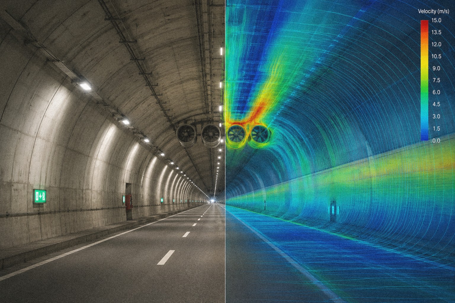
Scientific Visualization
Simulation, molecular modeling, and volumetric analysis.
Researchers exploring CFD, FEA, astronomical, and molecular data sets rely on stereo to perceive structure inside dense 3D volumes. Depth cues reveal flow patterns, bonding geometry, and structural relationships that are invisible in a flat projection.
- CFD and FEA post-processing in ParaView, EnSight, Tecplot
- Molecular visualization in PyMOL, VMD, Chimera
- Astronomy and seismic interpretation
- Immersive presentation at research meetings
Open standards (OpenGL Quad Buffer) mean no proprietary plug-ins or black-box drivers. Any NVIDIA Quadro / RTX A-series workstation drives the PluraView natively.
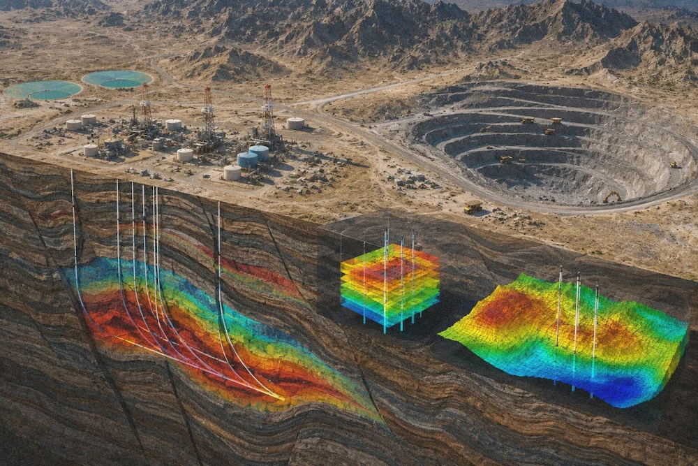
Oil, Gas & Mining
Subsurface interpretation and reservoir visualization.
Geoscientists use stereo to interpret 3D seismic volumes, well logs, and reservoir models — picking horizons and faults more accurately when true depth is visible. Stereo review rooms have been the standard at major operators for decades.
- Seismic interpretation in Petrel, Kingdom, DecisionSpace
- Reservoir simulation result review
- Open-pit mine planning and grade control
- Well-path and trajectory visualization
The desktop PluraView replaces million-dollar stereo visualization rooms with a per-geoscientist solution that costs a fraction and delivers equivalent clarity — enabling stereo work from any office or home-office setup.
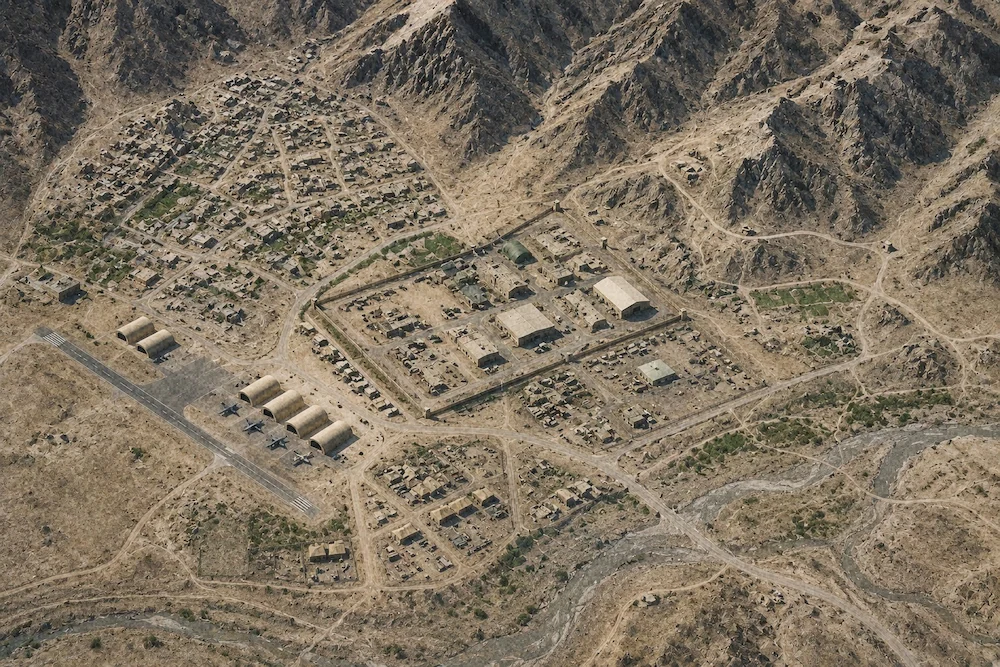
Defense & Intelligence
Geospatial intelligence, mission planning, and analysis.
GEOINT analysts compile and exploit imagery in stereo to identify and measure targets, build 3D site models, and support mission planning. Stereo interpretation remains the benchmark for feature extraction from high-resolution satellite and airborne imagery.
- Stereo imagery exploitation in SOCET GXP and ImageStation
- 3D site modeling and change detection
- Mission rehearsal and route planning
- Targeting and battle-damage assessment
Secure, on-premises deployments with no internet dependency. Proven performance in SCIF environments across US federal agencies. Supported by KELYN Technologies with GSA contract availability and US-based sales and service.
Not sure which configuration fits your workflow?
Our team has specified PluraView systems for every industry listed above. Tell us about your software stack and we will recommend a tier.